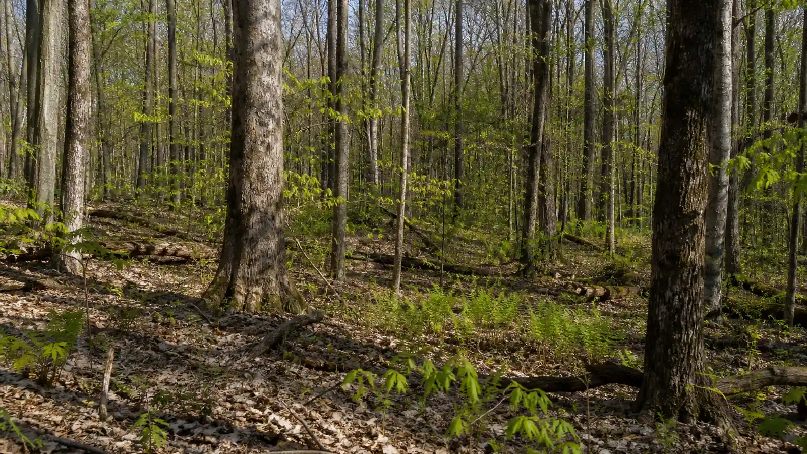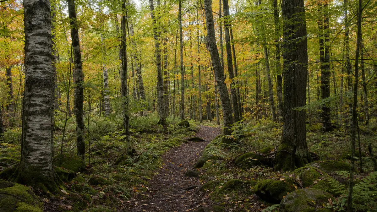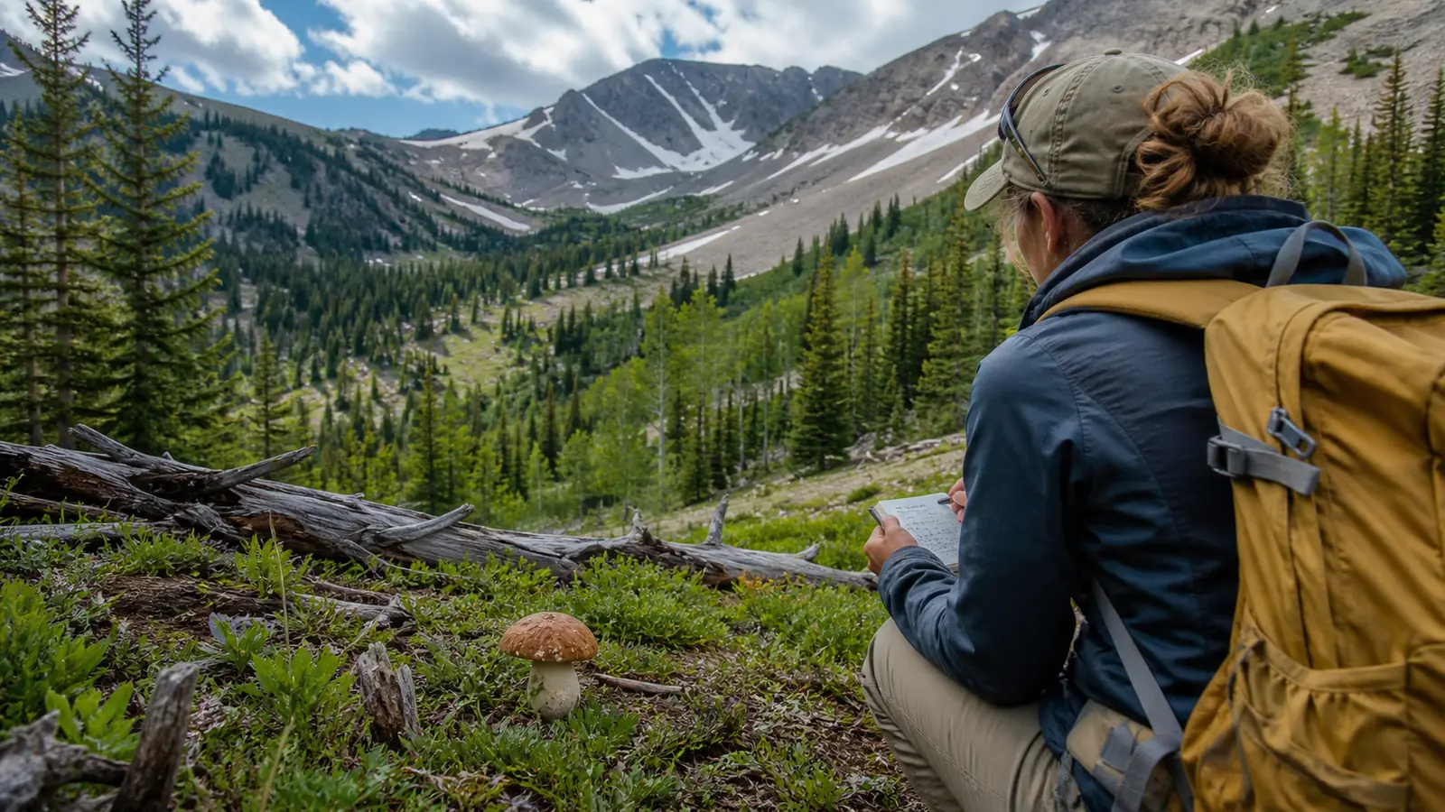
An elevation-ladder field plan for snowmelt, burn morels, patchy monsoon rain, current district permits, complete specimens, and storm-safe descent.
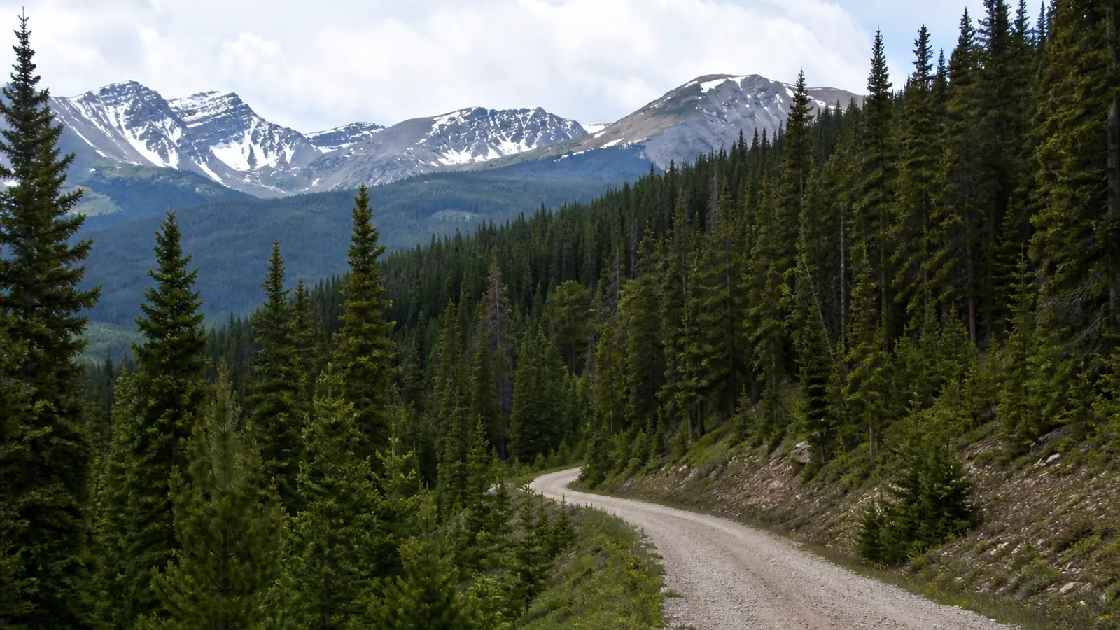
Rocky Mountain mushroom foraging follows elevation, snowmelt, and patchy summer storms rather than one regional date. Valley floors can be dry while an aspen bench is entering spring, and a high spruce-fir forest may remain cold weeks later.
Build the trip as an elevation ladder with a safe way down. Current forest-district rules, burn closures, road conditions, lightning, and complete specimen evidence all outrank a report of abundant mushrooms.
When does the Rocky Mountain season start?
Spring and early summer move upward through the Rockies as snow retreats. The useful band lies where soil has thawed, nights are no longer locking the surface solid, and forest litter stays moist without being submerged.
Altitude needs ground evidence before it becomes useful.
A trailhead thermometer cannot describe shaded soil several hundred meters higher.
- Check road and trail openings before choosing the elevation.
- Compare sunny and shaded aspects at the same height.
- Press through leaves or needles to assess lower moisture and thaw.
- Mark the highest dry stop and lowest frozen stop for the next visit.
Aspen edges and disturbed ground can support one search, while spruce-fir forest and lodgepole pine create others. The tree community narrows the route but does not prove the name of a mushroom found there.
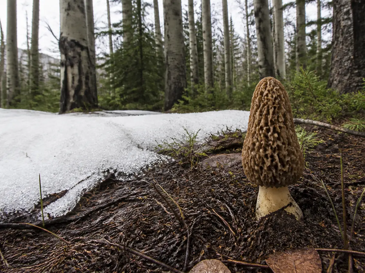
South-facing ground usually opens earlier, but it can also dry faster. A north-facing bench may lag and then retain moisture longer once it thaws.
Use three elevation checks instead of one long climb.
- Lower stop for thaw and drying.
- Middle stop for moist soil and active fruiting.
- Upper stop for remaining snow, cold ground, and road safety.
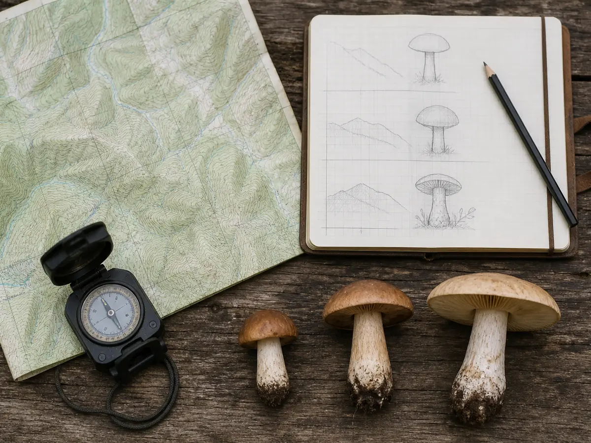
The result may be a narrow middle band. When the lower site is dry and the upper site frozen, concentrate the search between them rather than walking farther into unsuitable terrain.
Build the ascent record before the first find
Write the planned lower, middle, and upper stops before leaving phone service. Give each stop a maximum elevation, turnaround time, legal unit, parking location, and one forest question.
The lower stop tests whether the valley has already dried.
The middle stop tests active thaw and moisture beneath aspen or mixed conifer. The upper stop is a boundary check for snow, cold soil, road condition, and safe descent rather than a promise of better mushrooms.
Record air temperature only as supporting context. Soil condition, remaining snow, aspect, canopy, and the previous several nights explain more about the fruiting surface.
A negative elevation stop still narrows the route when the note is specific.
“Dry under needles at 2,400 meters†supports a move upward or into shade, while “no mushrooms†gives no reason for the next decision. Photograph the ground and canopy at every stop so later reports can be compared with the same habitat.
Fuel, daylight, road surface, and the slowest group member set the real top of the route.
Do not add another elevation after the agreed turnaround time because a map shows promising forest farther ahead. Mountain search effort must leave enough time for a careful return and any road delay.
ForagingMushroom foraging laws in France: what the five liter rule meansCan you find morels after a wildfire?
Morels can fruit after western wildfires, and harvesters use prior fire history to plan routes. A fire perimeter still says nothing by itself about current access, slope stability, snowmelt, burn severity, tree community, or actual fruiting.
- Fire year
- Use the relevant previous burn period as a lead, not proof
- Access
- Read current closure, road, trail, and forest-product notices
- Terrain
- Reject loose ash slopes, unstable road cuts, falling snags, and active work zones
- Evidence
- Assess complete morel characters and local lookalikes
A burn safety audit comes before any mushroom route.
Closed or unstable ground is not improved by a promising report.
- Download the current closure map.
- Confirm legal parking and a reliable exit route.
- Avoid steep drainages and concentrations of standing dead trees.
- Set a turnaround time before afternoon storms.

A true morel has a pitted cap and a continuous hollow interior through cap and stem. False morels can share the season and region, so cap attachment, internal structure, surface form, full base, and expert confirmation still matter.
Damaged specimens reduce the value of a burn search. Leave crushed, old, moldy, waterlogged, or detached material out of every food collection.
ForagingMushroom foraging laws in Germany: protected species and small quantitiesWhere do you look after summer storms?
Summer monsoon storms can be sharply local. A weather app may show rain for the mountains while one drainage receives a soaking and the next gets wind, lightning, and almost no water.
| FIELD CONDITION | INTERPRETATION | ROUTE ACTION |
|---|---|---|
| Deep litter moist under spruce or fir | Rain reached a sheltered forest partner | Walk a compact tree-focused loop |
| Surface wet, lower needles dry | Storm was brief after drought | Wait or check a cooler drainage |
| Exposed ridge already brittle | Sun and wind removed the useful moisture | Redirect to shade rather than extend the ridge |
| Soil saturated and specimens collapsing | Evidence and footing are poor | Leave and return after conditions stabilize |
The table turns a broad rain forecast into a condition you can verify under the canopy.

The rain footprint and tree community define the summer loop.
Boletes associated with conifers, chanterelle candidates on forest soil, and wood fungi attached to logs require different loops.
- Start beneath canopy where evaporation was slower.
- Inspect soil candidates and wood-attached fruit bodies separately.
- Record the tree, altitude, drainage, storm date, and ground moisture.
- Use empty moist habitat as a reason to return rather than to wander farther.
Large boletes can look convincing from above while hiding insect damage, pore color, bruising, or stem characters below. Keep the full specimen intact and reject old material whose underside has collapsed.
Lightning changes the route immediately. Leave exposed ridges, isolated trees, burns, and open slopes before a storm reaches the site, even when the ground has finally received rain.
Separate rainfall from storm exposure
A useful mushroom storm may still be an unsafe hiking storm. Check radar history to learn which drainage received water, then check the current forecast to decide whether that drainage can be entered safely.
Thunder heard from a forest bench means the group is already close enough to act.
Move away from exposed ridges, isolated tall trees, open burns, metal fencing, and water. A vehicle or substantial building is a safer objective than a dense cluster of trees.
Rain evidence never cancels lightning exposure. The most productive-looking stop becomes a leave decision when the escape route crosses open ground or the storm is approaching faster than the group can descend.
After a storm, inspect roads for washouts, soft shoulders, fallen rock, and blocked turnarounds before committing downhill. A narrow mountain road can become the main risk after the clouds have moved away.
Wind matters after rain as well.
Warm gusts can dry exposed litter and damage caps, while a sheltered spruce bench may remain damp. Compare those two conditions directly rather than extending the first dry route across an entire district.
Do you need a permit in a national forest?
National forests manage mushrooms as special forest products, and conditions can vary by forest, district, year, purpose, quantity, and location. A permit from a neighbouring forest or a previous season is evidence of variation, not current authority.
Those five permit fields must agree before the dated document can support collection.
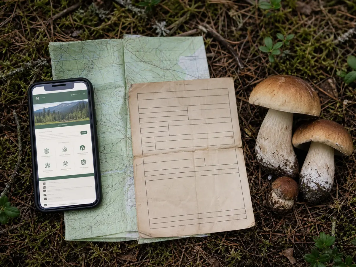
Old permit details expire with their stated dates.
A past Arapaho and Roosevelt permit can show how quantities, fees, excluded areas, and dates are structured, but it cannot authorize a current outing.
- Open the current official forest permit page.
- Follow the link or phone number for the responsible district.
- Record quantity, cutting or possession conditions, and excluded zones.
- Carry the required permit and map where collection is allowed.
- Recheck closures before departure.
State parks, private timber, tribal lands, municipal open space, wilderness, and research areas may use different rules. Public access alone does not create a right to remove mushrooms.
Call the current office when a web page says only “forest products†without naming mushrooms. Ask whether a permit is required, whether the quantity is measured fresh, which areas are excluded, and whether cutting or possession conditions apply.
Write down the staff office, date, and source, but continue to follow signed closures encountered on site.
Commercial use needs its own authority. Do not treat a personal-use permit as permission to sell, barter, guide harvest, or supply a business.
ForagingMushroom foraging laws in the UK: what is actually legalWhat should you carry at altitude?
Several elevation stops can produce specimens that look similar but came from different trees, weather, and substrates. Field numbers and separate containers keep those contexts from merging.
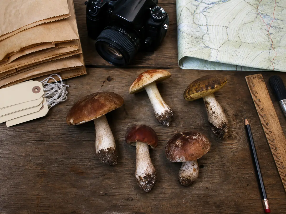
Pack the kit in the same order you will use it so every stop produces a consistent record.
A whole specimen carries the mountain context forward.
Detached caps cannot be reliably matched to a base, altitude, or tree after several stops.
- Choose mature sound examples rather than only buttons.
- Preserve the full base where collection is legal.
- Note bruising, staining, odor, and the time of change.
- Keep unknown specimens away from every intended food collection.
An app can suggest names, but it cannot replace foraging safety rules or account for local mountain lookalikes. Use qualified regional expertise before any edibility decision.
Altitude can also change which lookalikes are locally plausible, so the reviewer needs the exact stop rather than only “Rocky Mountains.†A complete record lets that person combine physical characters with forest and elevation without treating habitat as proof.
How do you get off the mountain safely?
Set the return time before starting uphill and assign a weather escape route that does not cross an exposed ridge. Mushroom abundance never justifies staying beneath snags, crossing a closure, or remaining above timberline during lightning.
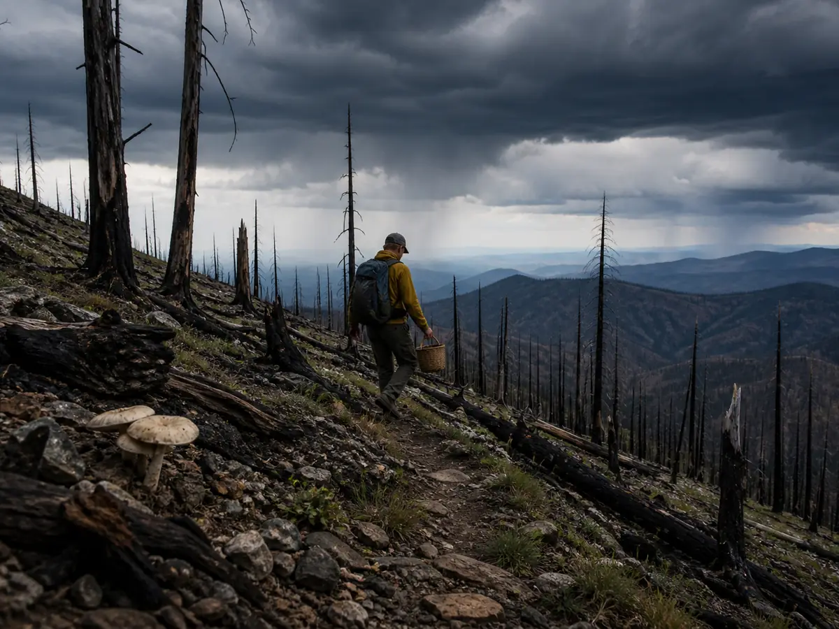
Use the visible weather and the completed field record to choose one of four outcomes.
Legal site and complete evidence
DocumentPreserve the record for local review
Better moisture in another safe band
RedirectChange elevation or drainage while keeping the same rules
Closure, storm, protection, or identity unclear
LeaveNo mushroom overrides missing authority or safety
Suspected ingestion of an unknown mushroom
Call Poison ControlIn the United States call 1-800-222-1222 immediately
A safe descent is the final mountain field skill.
A full basket, empty basket, or observation-only record can all be successful outcomes when the group returns before the storm.
Use the last stop to close the record before driving. Count every specimen container, match each field number to its photographs, and note which mushrooms were left because of condition, law, or uncertainty.
Check that no loose candidate has fallen into a different bag.
Mountain travel can separate people from phone service, so give a trusted contact the route, vehicle, district, and expected return time before departure. Carry offline maps, water, warm layers, first-aid supplies, and enough fuel for an unexpected road closure.
If the group is overdue, that route record should tell a responder where the planned elevation ladder ended.
Do not let edible interest delay care for a fall, lightning exposure, hypothermia, or altitude illness. Treat the person's immediate condition first and tell responders about any mushroom ingestion separately.
After a lawful confirmed collection, cook only sound specimens from the exact reviewed group. Keep one uncooked example and the field record until everyone who ate the meal remains well.
Warning
If anyone may have eaten an unknown wild mushroom, treat mushroom poisoning symptoms as urgent and call U.S. Poison Control immediately at 1-800-222-1222. Preserve uncooked material, photographs, field notes, meal details, amount eaten, and exposure time for the specialists.
Sources & References
- USDA Forest Service, Ecology and Management of Morels Elevation, latitude, and fire history in western morel harvest.
- USDA Forest Service, San Juan National Forest Permits Local special forest product permits.
- USDA Forest Service, Rio Grande National Forest Permits Current forest-product permit context.
- USDA Forest Service, Arapaho and Roosevelt Mushroom Permit Example of dated district-specific conditions.
- Poison Control, Wild Mushroom Warning Identification and emergency guidance.